Orthomosaics and 3D models from real sites in Central Oregon. Every map is hundreds of photos stitched into one measurable image — consistent, georeferenced, and built to a standard.
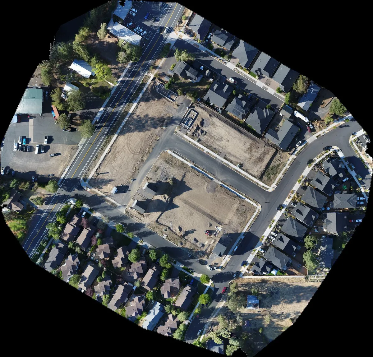
One measurable image of your whole site, stitched from hundreds of individual photos. Click to enlarge, then scroll to zoom.
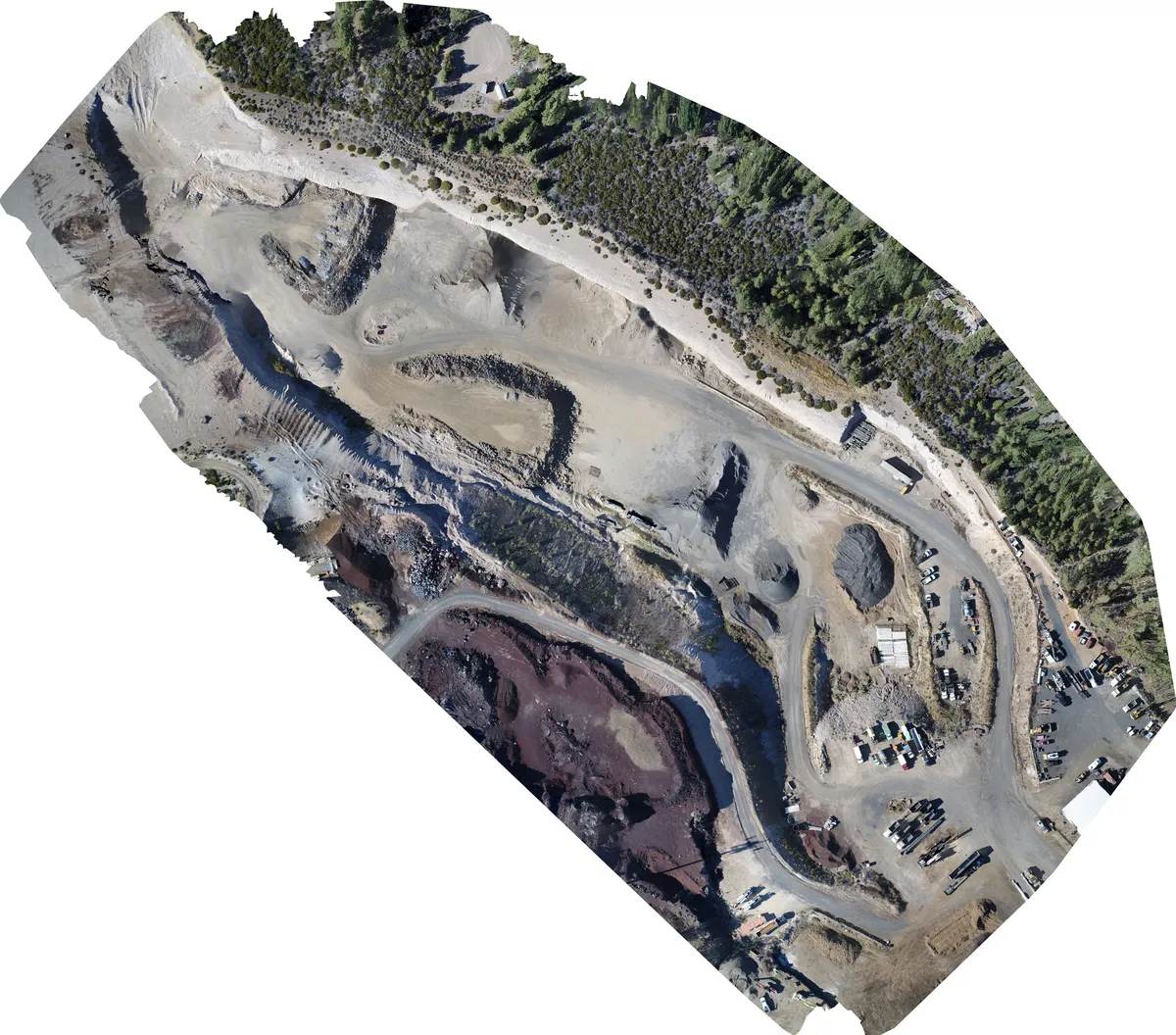
An orthomosaic is hundreds of overlapping photos stitched into one flat, top-down image of your site. Because every pixel is locked to a real-world position, you can measure distances, areas, and volumes directly on it, no matter how big the site.
It is the base layer behind every volume we report and every progress map we hand over. The same electronic flight path is used for each mission, and so one flight lines up cleanly with the next, and the differences you see over time are real changes on the ground.
Every map we deliver is consistent: the same point lands in the same place on every flight, so a measurement this week matches one next week. If you need survey-grade precision, that is also available, but accuracy does not depend on such precision for most needs. For tracking volume, proving progress, and documenting the job, the consistency we deliver today is the accurate answer.
Drag to rotate, scroll to zoom. Two sites we have flown and modeled in Central Oregon.
Both models are built from the same flight data that feeds the orthomosaics above. If you want the same treatment for your site, the first step is the same: a flight over your yard, then the map and the model together.
One flight over your site becomes one measurable orthomosaic. No stitching tricks, no black boxes — just the whole site in one image you can zoom into.
Measure areas, distances, and volumes directly on the map. Every pixel is tied to a real-world position, so the numbers behind the picture are as useful as the picture itself.
Fly the site once and the map becomes your baseline. Fly it again and the differences you see are real changes on the ground, not drift between flights.
A simple pipeline, done the same way every time.
A single flight or a recurring pass, on a schedule that fits the job. Mechanical-shutter drone, proper overlap, full coverage — no gaps, no guesswork.
Hundreds of photos stitch into one georeferenced orthomosaic and measurable model, processed locally with fast turnaround.
Volumes, progress, condition, or time-lapse — in a form your clients, owners, and lenders can actually act on.
We are Part 107 certified with fifteen years in IT and a background in building and running systems. That combination matters: when we fly your site, the data is processed, measured, and handed over in a form you can actually use, not just a pretty picture.
Everything is flown and processed locally in Central Oregon. Your site, your data, your numbers, no outsourcing and no mystery.
Tell us the size of the site and what you need measured, then we tell you what it takes — number of piles, acreage, and what kind of answer you need.